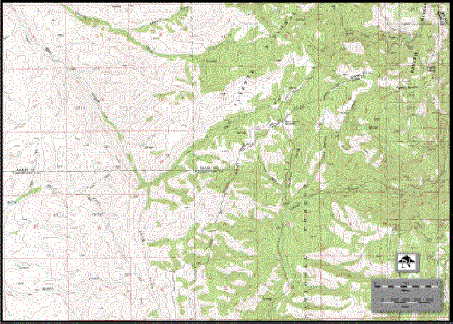
Fineline is proud to announce our recent addition of
a complete Database of 1,661 digitally Scanned USGS 7.5 Minute Quadrangle Maps Covering
the Entire State of Idaho.
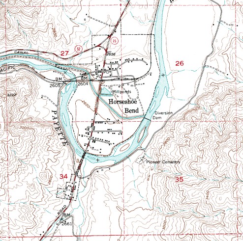
The Database includes .tfw files. These are called world files and are associated by name with each
topo map. Within these files are geo-referencing information pertaining to each topo maps
exact location on the planet. Most high end mapping software uses this information to tile
maps together effortlessly. Using Image Editing Software we can tile maps or crop to a
specific area To meet our clients requirements.
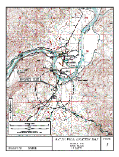
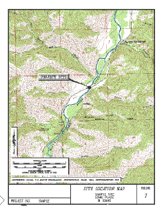
New standards require the use of USGS Maps for ESA's. We
can now supply our clients with the actual USGS Quadrangle Map needed for Site Vicinity
Maps, Water Well Location Maps, Idaho Department of Transportation Projects, and
Presentations without the need of using outside services for color or b/w scans.